Galloway Creek Greenway
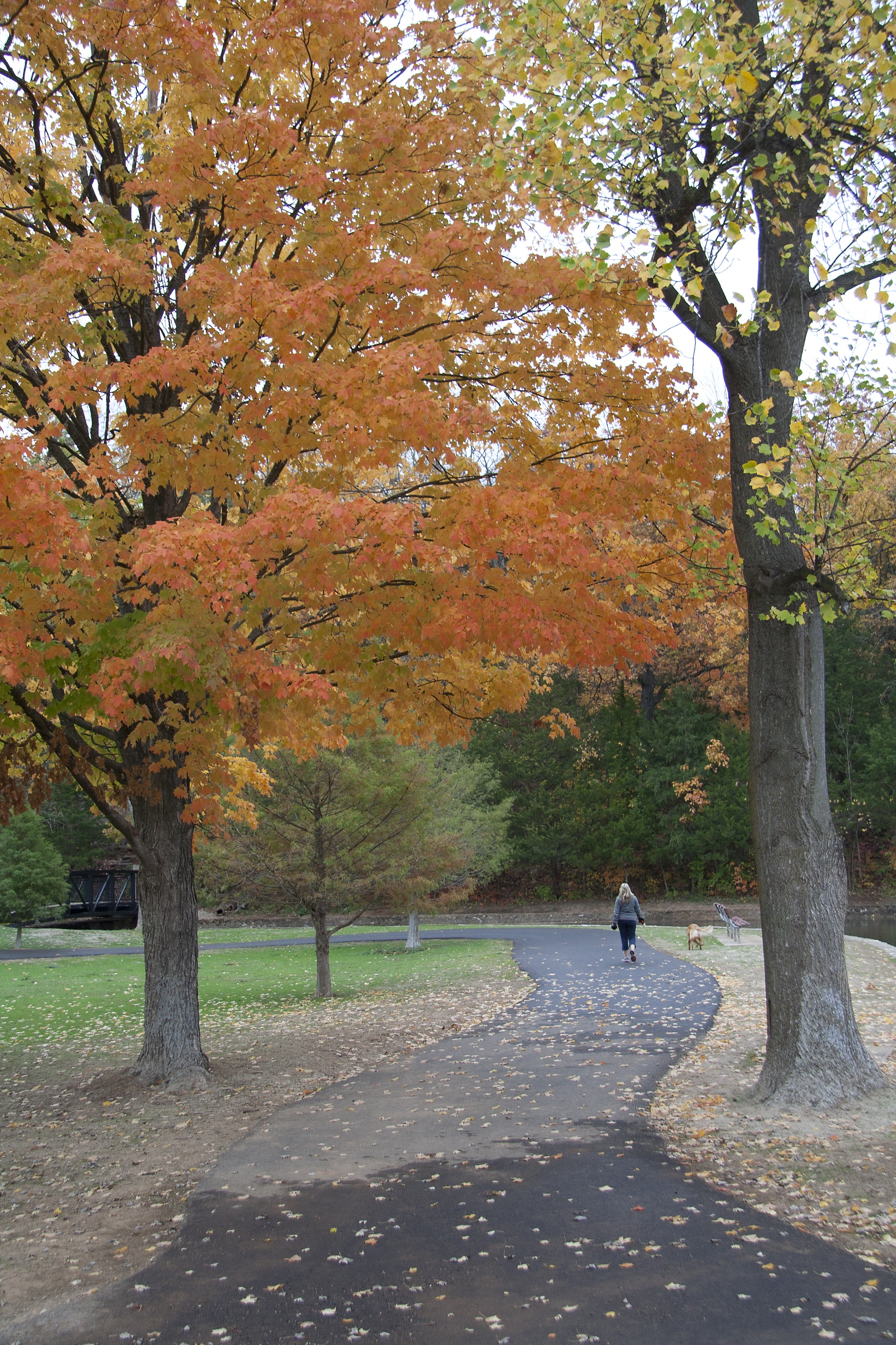
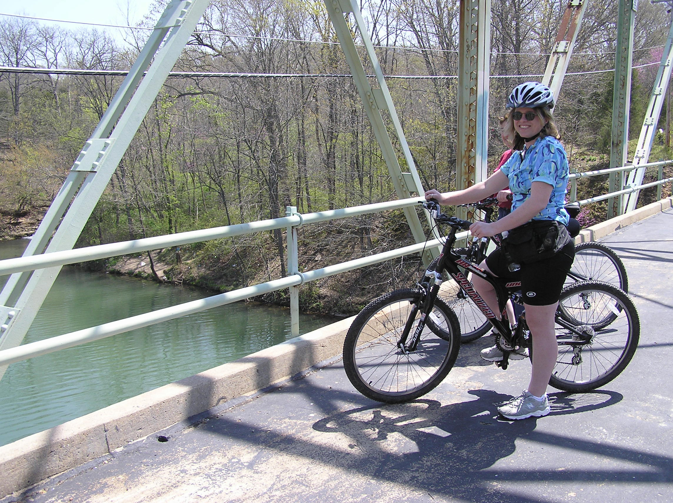
Galloway Creek Greenway runs north-south in southeast Springfield. It was designated a National Recreation Trail in 2003, by the National Park Service and American Trails, and was the first trail in Missouri to receive this honor! It begins at Pershing Middle School on Seminole Street, just east of Lone Pine Avenue, and heads south through historic Sequiota Park and Galloway Village, then to the Springfield Conservation Nature Center, concluding at the scenic James River bridge. The trail connects to the James River Greenway and James River Water Trail - both of which highlight the natural beauty of the Ozarks that runs right through Springfield!
POINTS OF INTEREST:
- Connection to the James River Greenway & Trail of Honor;
- Connection to the James River Water Trail for canoeing, kayaking, fishing and nature watching);
- The trail view going under the Highway 60/65 interchange is an interesting visual contrast between the huge concrete cloverleaf highway and the lushly wooded James River corridor;
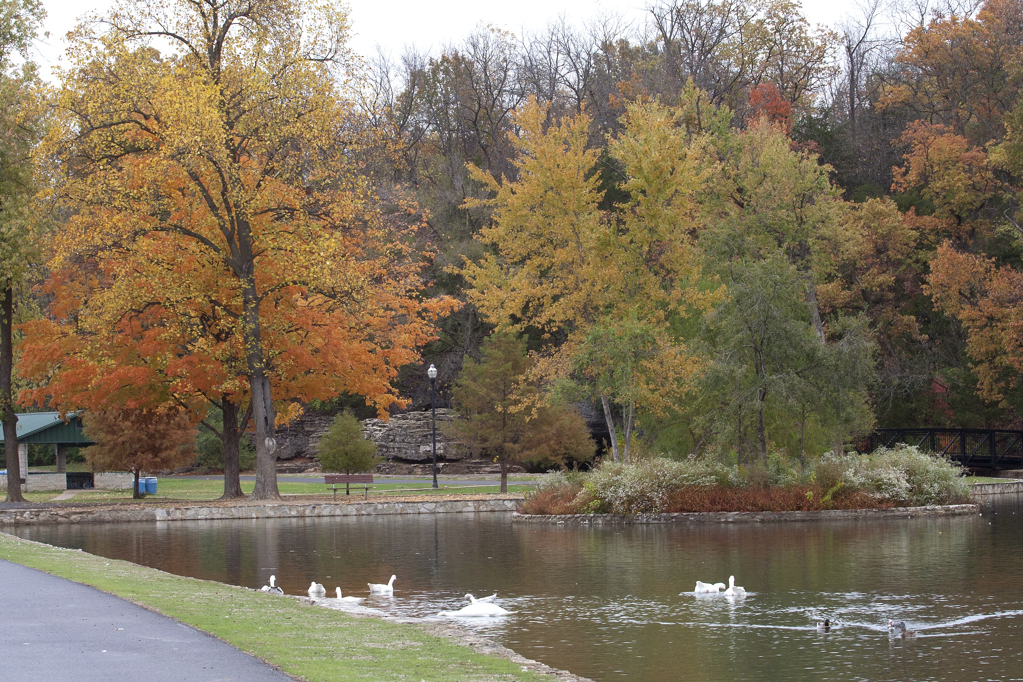
- Sequiota Park and its historic cave;
- Restaurants and shops of Galloway Village:
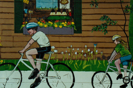
- Galloway Grill's mural;
- Bambino's Cafe has a wall of trail information inside;
- There's an oversized wheelchair sculpture you can climb into, a bike sculpture, and the popular Pet Cemetery;
- City of Springfield's Lone Pine Recycling Center; and
- The beautiful and educational Springfield Conservation Nature Center
NOTE: The Nature Center does not allow bikes or dogs on its trails, but they do allow walkers and runners. There's a bike rack to lock bikes where the greenway enters the back of the Nature Center.
Parking & Trail Access
Parking is available at Pershing Middle School at 2713 E. Seminole St., The Towers Shopping Center at 2896 S. Lone Pine Ave., Sequiota Park at 3500 S. Lone Pine Ave., Springfield Conservation Nature Center at 4601 S. Nature Center Way (no dogs or bikes allowed in Nature Center), and the James River Iron Bridge at 3398 E. Timbercrest St.
Map
Download a printable version of this Ozark Greenways map
Gallery
Length |
5 miles total (From Pershing Middle School to Nature Center and to the Old Iron Bridge over the James River) |
Terrain |
Both concrete and asphalt surface - Minimal to moderate inclines |
Accessibility |
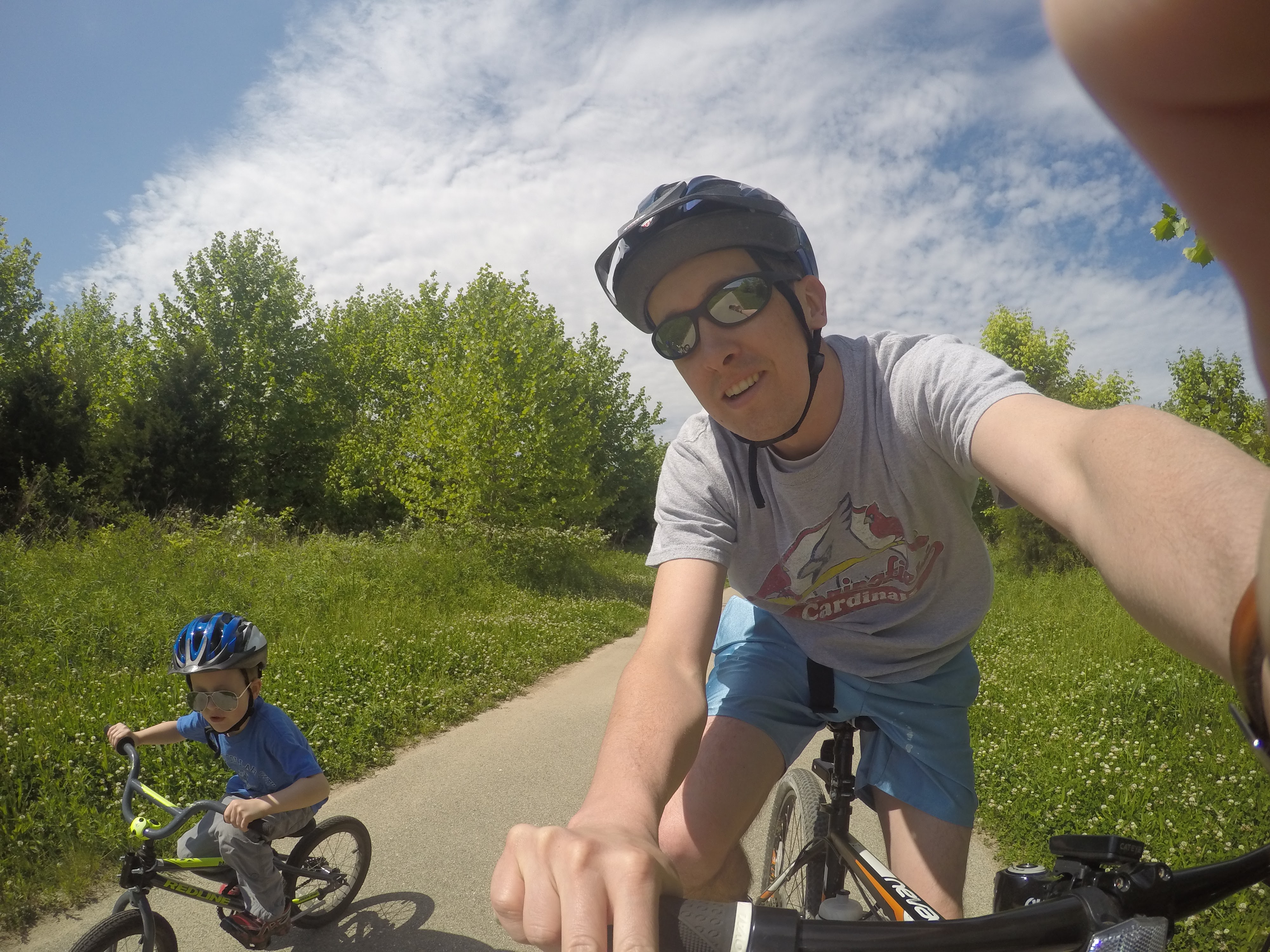
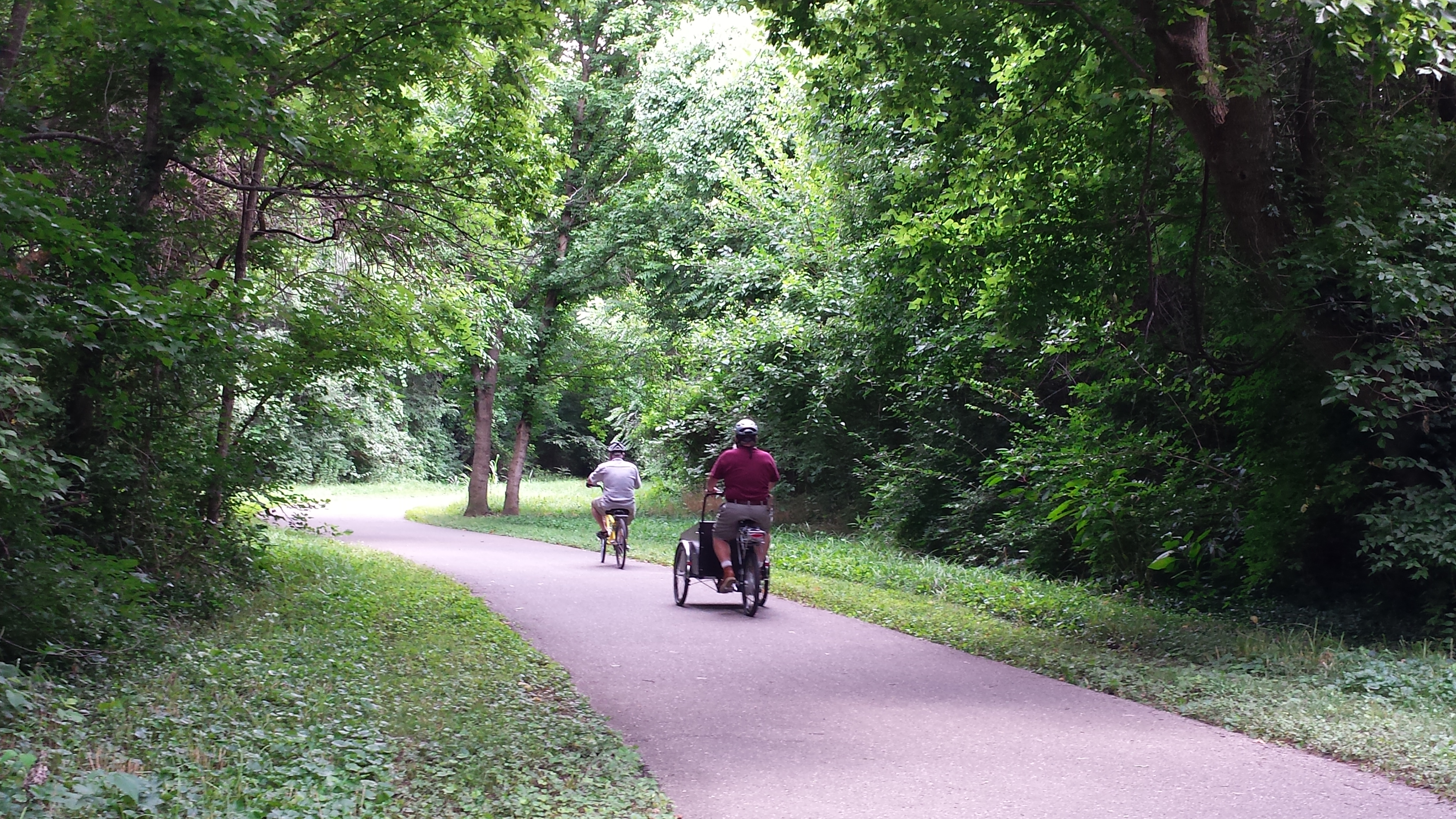
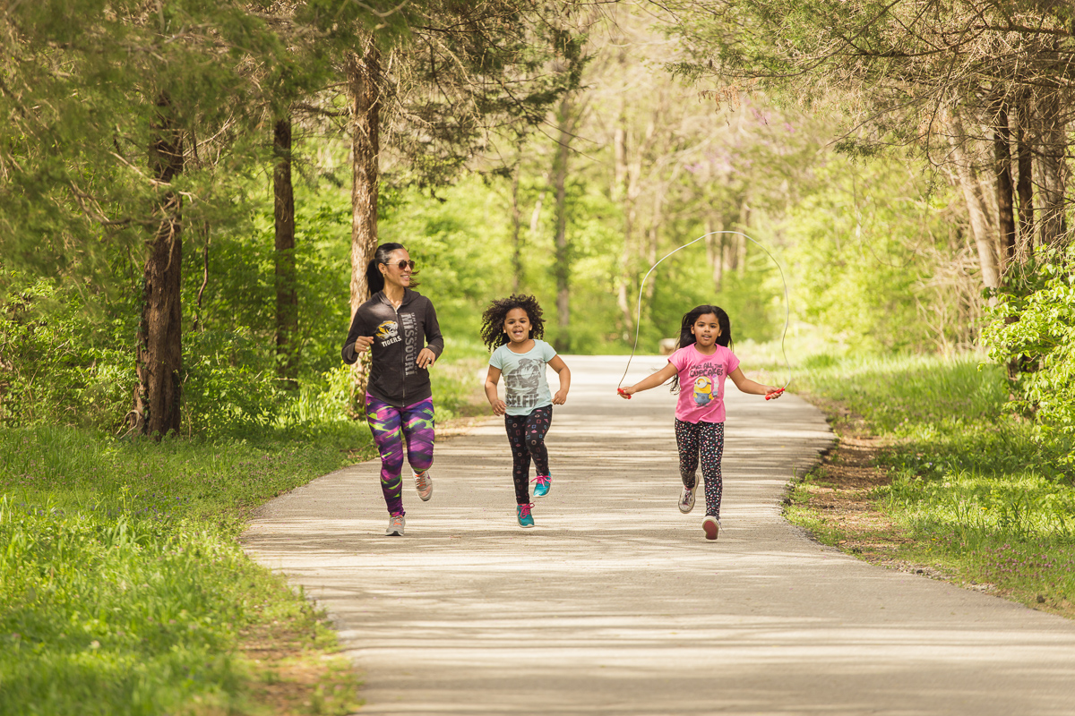
Walkers, runners, bicyclists, in-line skaters, wheelchairs, baby strollers |
Hours |
Open during daylight hours only |