Chadwick Flyer Trail
Click HERE to see a map.
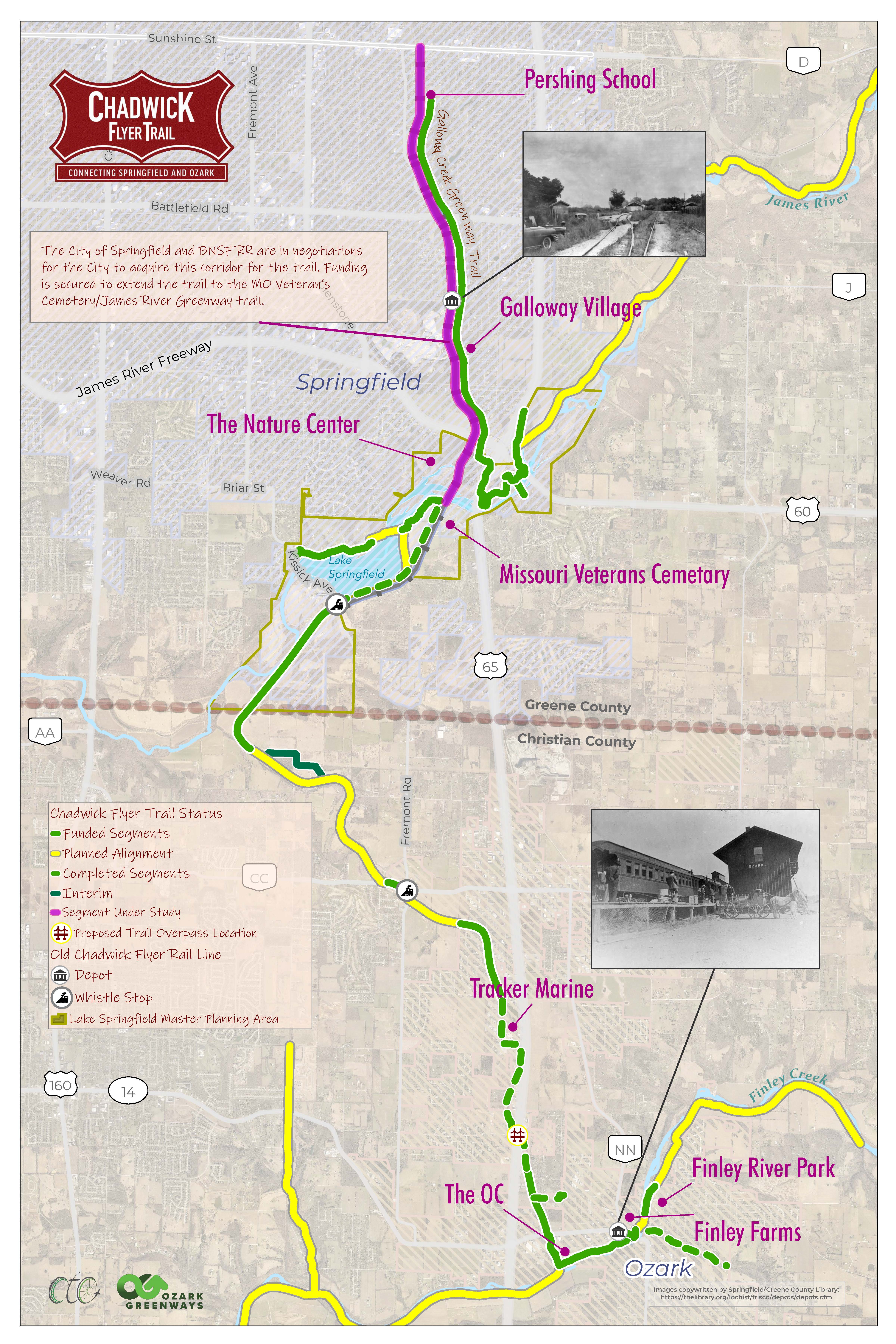
The Chadwick Flyer Trail offers a vital active transportation corridor between the City of Ozark and the City of Springfield. It is a part of the growing regional trail system. Current efforts are focused on the ~12 miles between Sunshine Street in Springfield and the Ozark Community Center in Ozark.
Springfield is our state’s third largest metro, and this project highlights our collaborative spirit and allows us to come together around not only a part of our history but also our future. It will allow us to celebrate and develop our unique identity of place and foster an experience economy that supports recreation, culture, and tourism. Best of all, it will connect us to our beautiful outdoors.
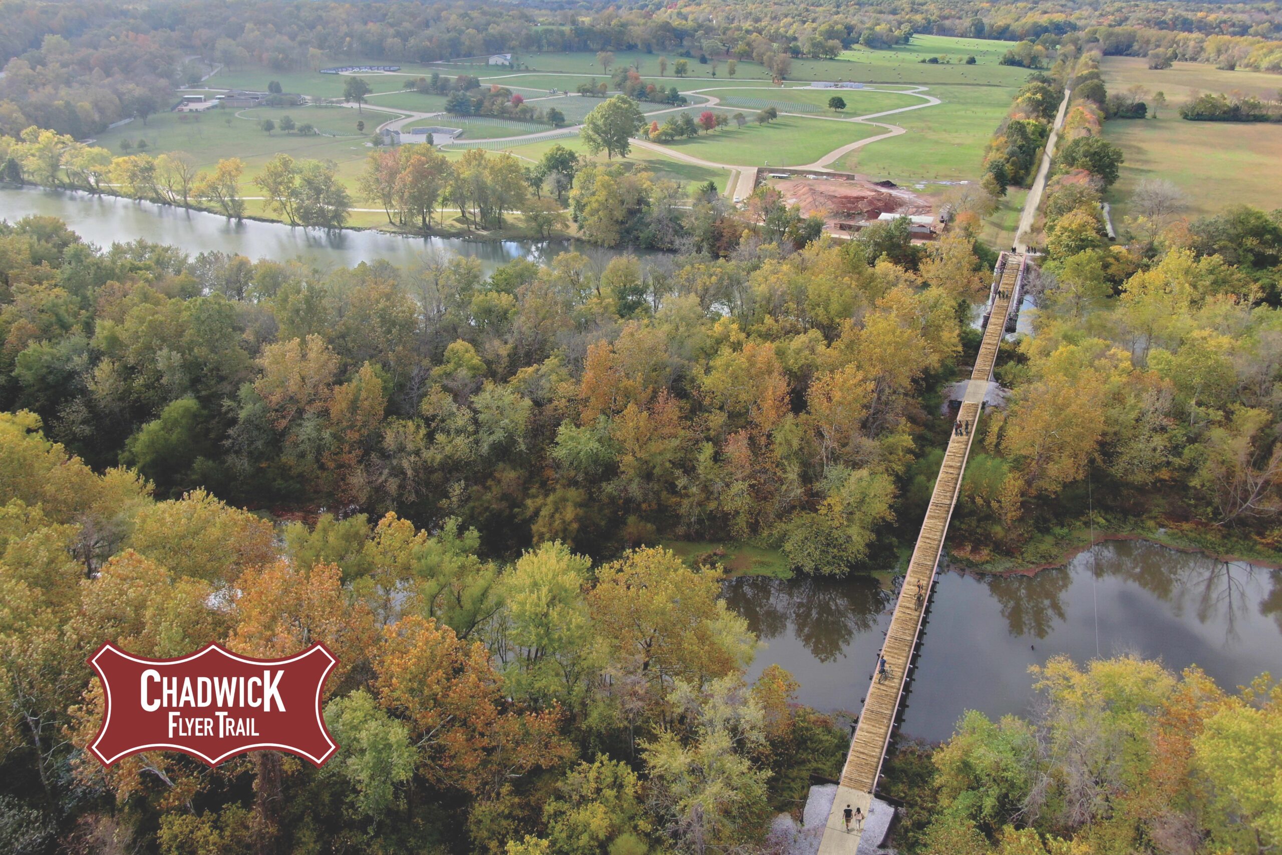
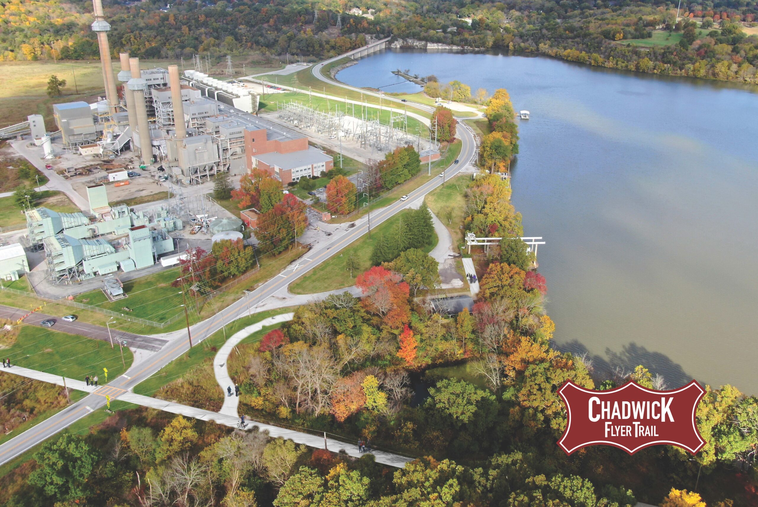
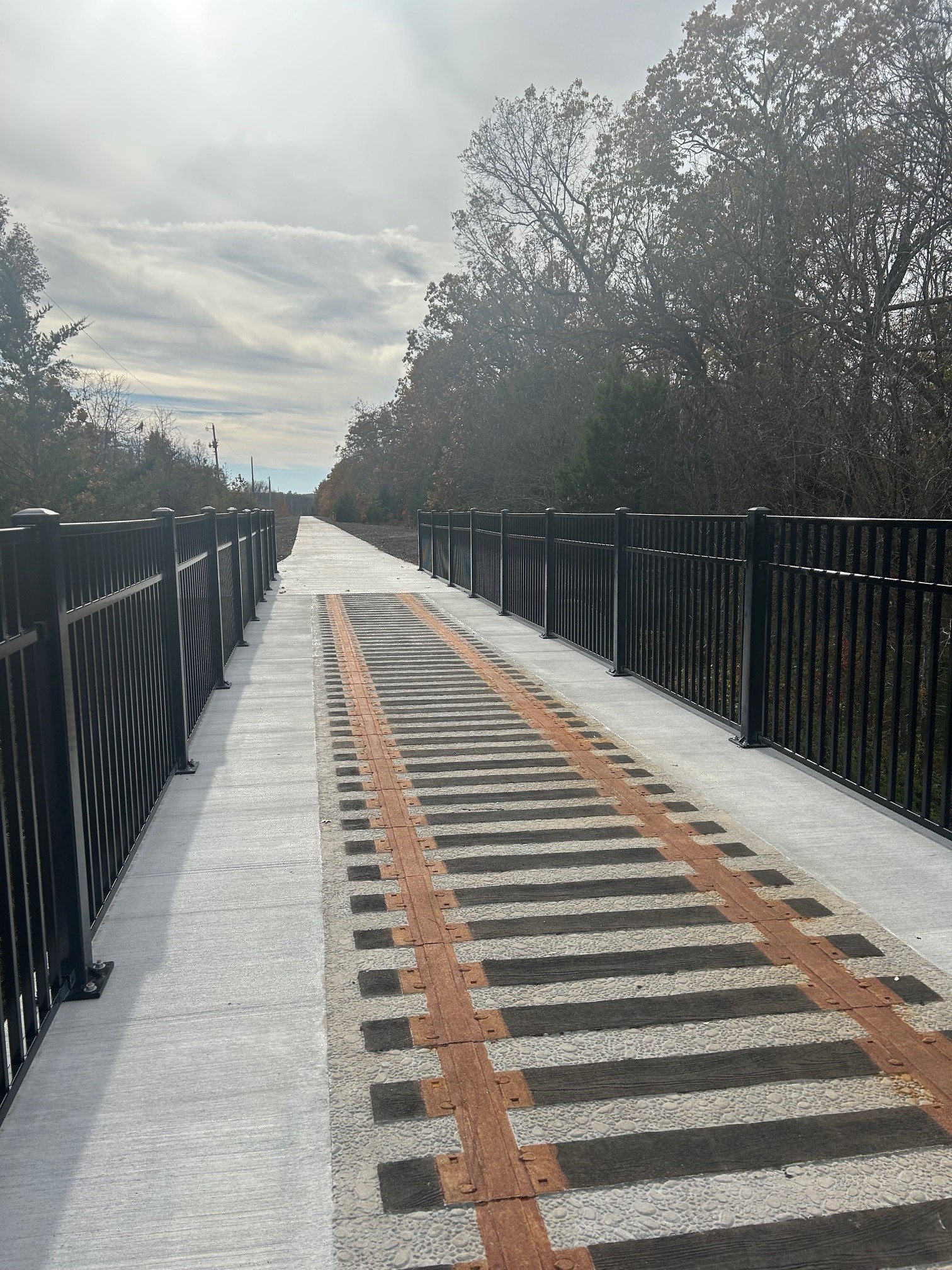
The above photo is near Olde World Estates on 22nd Street in Ozark, MO. Approximately 1.4 miles of trail have been completed in three segments in the City of Ozark. 1.8 miles of trail have been completed in Greene County by the Springfield Power Plant.
Parking & Trail Access
The Chadwick Flyer Trail is in the planning, development, and construction stages.
Gallery
View the Chadwick Flyer Trail Gallery

Length |
Approximately 3.2 miles constructed in 4 different segments / 12+ miles planned |
Terrain |
Paved surface – minimal inclines |
Accessibility |
Walkers, runners, bicyclists, wheelchairs, etc. |
Hours |
Daylight hours |