Sac River Mountain Bike Trails
The Sac River Mountain Bike Trails are fun! Map reading is a recommended skill. All the trails are marked with color blazes, but it’s easy to get turned around once in the park. We also recommend having a charged cell phone, map, and water with you.
TRAIL DESCRIPTION: This 300-acre Springfield-Greene County city park offers over 14 miles of interconnecting single-track trail through the woods in northwest Springfield. Built by volunteers in 1996, it’s popular with mountain bikers from beginner to advanced, and for trail running and hiking. The perimeter trail is about 2 miles, and a cell phone tower marks the northeast corner of the perimeter.
POINTS OF INTEREST: The beautiful Little Sac River on the west side; Small picnic pavilion; two historic cemeteries; adjacent to Ritter Springs Park; special events throughout the year.
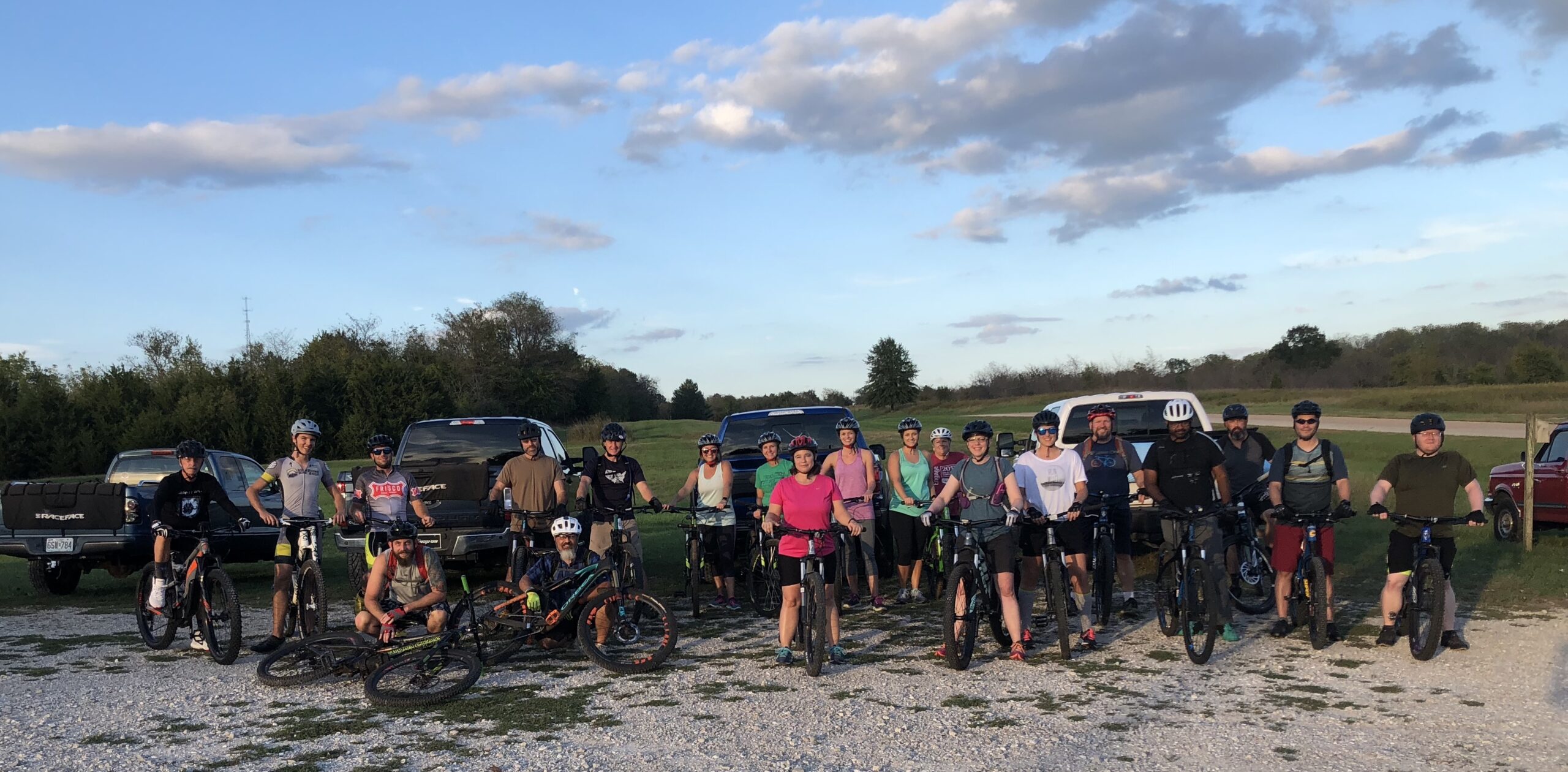
WEEKLY GROUP RIDES: Seasonal. Every Monday and Wednesday at 6:15 pm, Missouri Off Road Cyclists (MORC) hosts a free 1-2 hour group mountain bike ride of varying distances for all ages and skill levels.
CLUBS: Missouri Off-Road Cyclists (MORC) and Springbike Club. Springfield’s bike shops are also a great source for area mountain biking information.
Parking & Trail Access
Trailhead is located three miles north of I-44, off of Highway 13 (called Kansas Expressway in town), in northwest Springfield. Watch for the brown highway sign marking the westbound turn onto an unnamed road to the Northwest Water Treatment Plant. There isn’t a physical address for the trailhead, but here is a Google Map to get you there.
Gallery
View the Sac River Mountain Bike Trails Gallery


Length |
14+ interconnected miles |
Terrain |
Dirt singletrack, rocky in places |
Accessibility |
Mountain biking, Trail running, Hiking, Small picnic pavilion |
Hours |
Open during daylight only |