James River Greenway and Trail of Honor
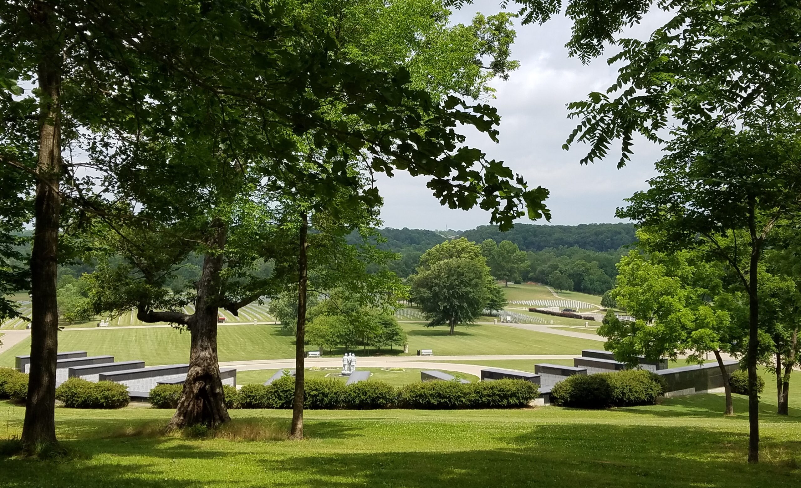
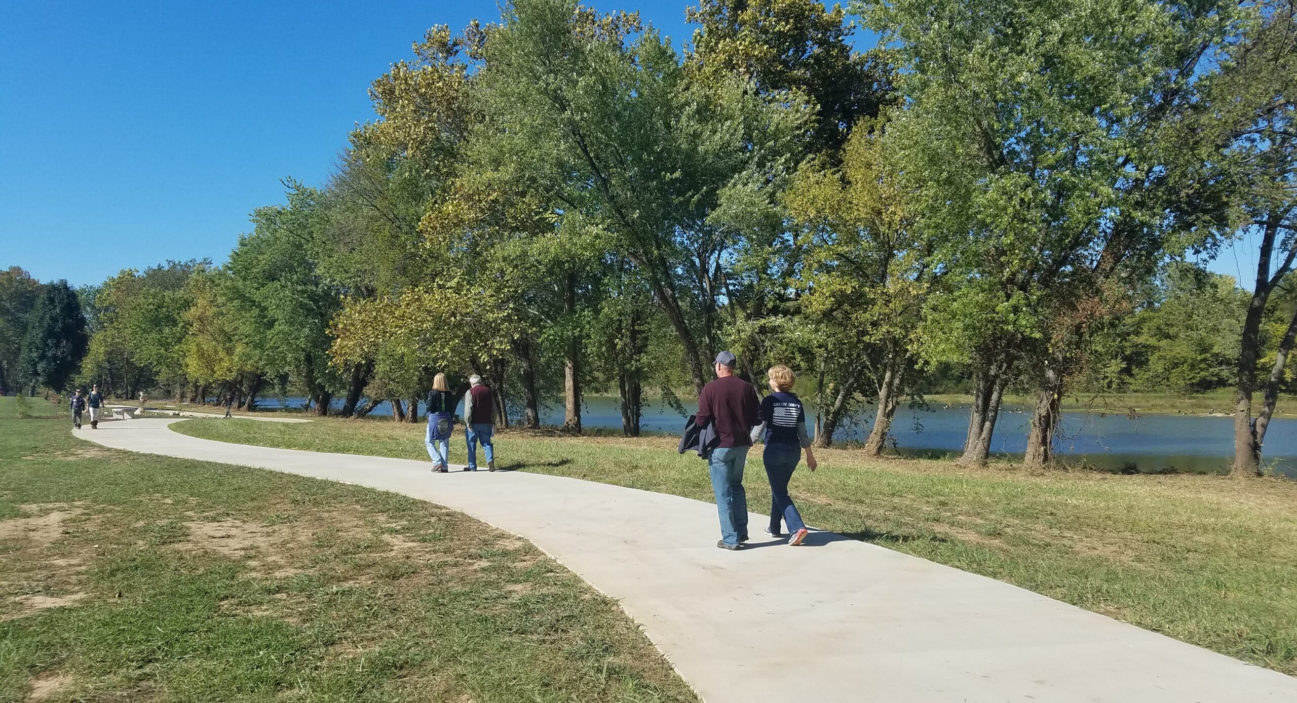
Currently, there are three one-mile segments of the James River Greenway. One segment connects the James River iron bridge north to the end of the former frontage road (Gasconade Avenue) that crosses over Highway 65 and connects to an on-street bicycle loop to and from Sequiota Park. The second segment of the trail is along the north bank of Lake Springfield Park, from the park entrance to the boathouse on the lake shore. The third segment is a one-mile trail section called the Trail of Honor, that meanders along the banks of the beautiful James River and the edge of the Missouri Veteran’s Cemetery.
Future trail plans will connect these segments and extend northward along the James River. A future bridge across Lake Springfield has been planned to join the trail sections on the south and north sides of Lake Springfield. This trail will also connect to the Chadwick Flyer Rail Trail, the planned regional trail between Springfield and the City of Ozark. The timeline for extending and connecting these trails are contingent upon funding and land acquisition.
POINTS OF INTEREST:
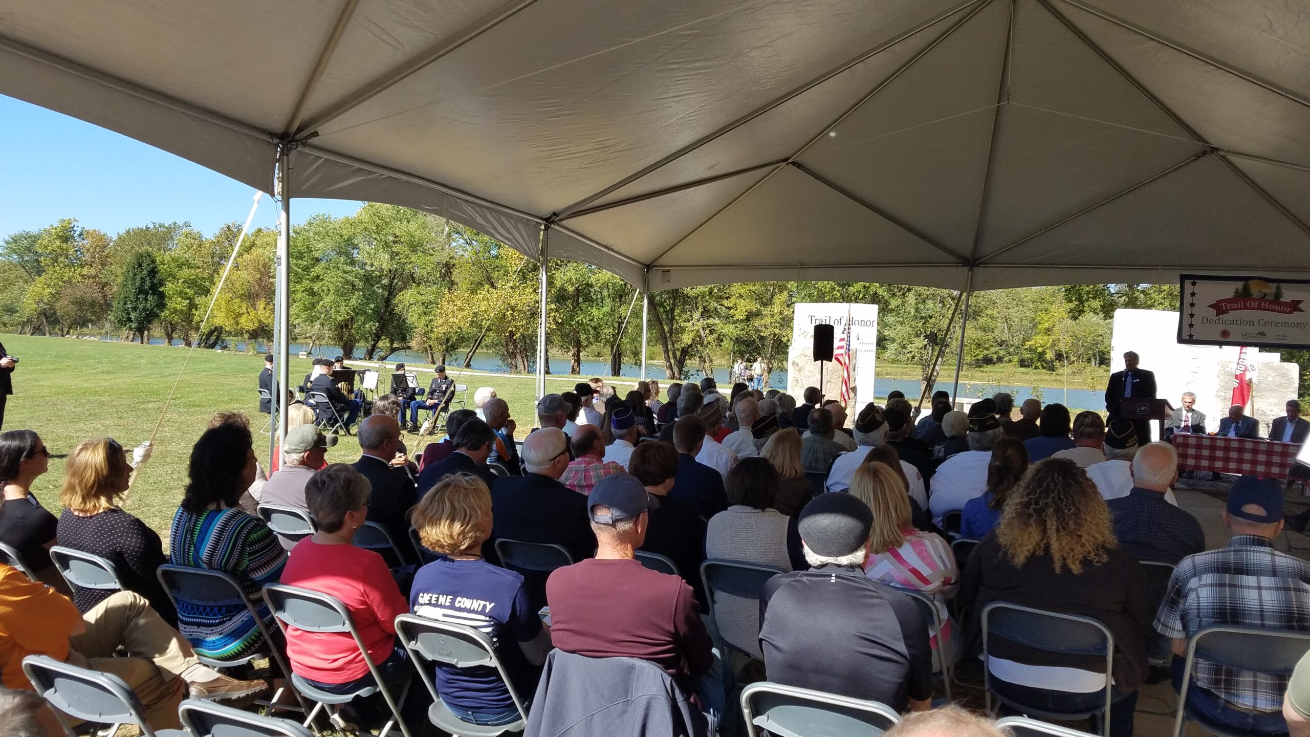
– In 2017, we opened a section called the Trail of Honor. This unprecedented trail segment is made possible by a partnership between the Missouri Veterans Commission, C.W. Titus Foundation, and Ozark Greenways donors. We invite you to travel through this landscape with respectful reflection in honor of our country’s veterans.
– Lake Springfield Park has a lovely boathouse with seasonal canoe and kayak rentals to explore the 6-mile James River Water Trail and a 1.4-mile woodchipped nature trail in addition to the paved greenway trail.
Parking & Trail Access
Parking is available at Southwood Boat Access & Trailhead at 5201 S. Southwood Rd.; Lake Springfield Park at 5324 S. Kissick Ave.; Anywhere along Galloway Creek Greenway
Gallery
View the James River Greenway and Trail of Honor Gallery
Length |
3 miles total, for 2 segments |
Terrain |
Mixed concrete and asphalt paved surface – Minimal to moderate inclines |
Accessibility |
Walkers, runners, bicyclists, in-line skaters, wheelchairs, baby strollers |
Hours |
Open during daylight hours only |